obaidipedia.com
Business Inquiries printf.shoaib@gmail.com
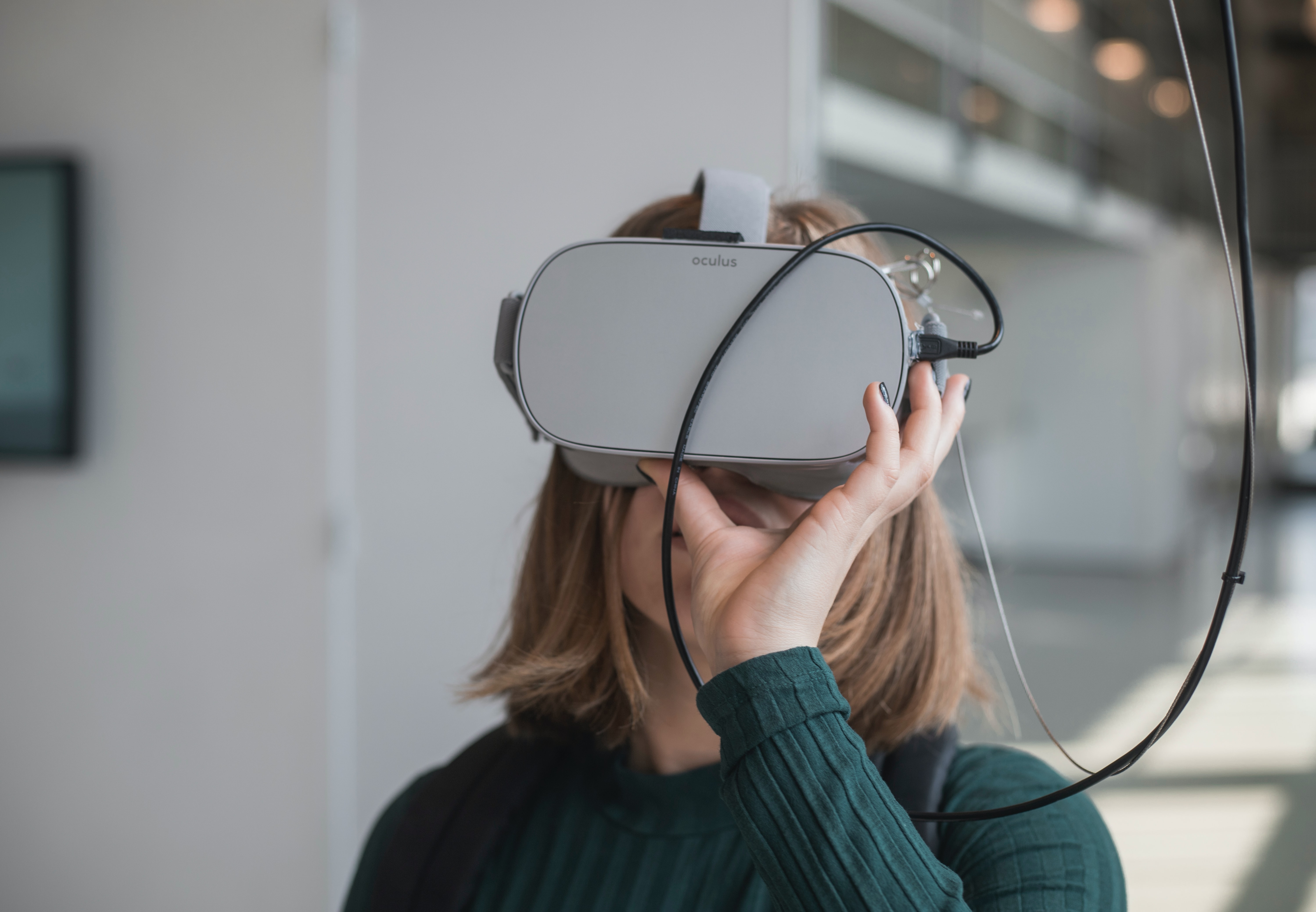
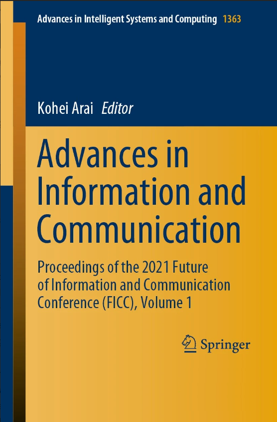
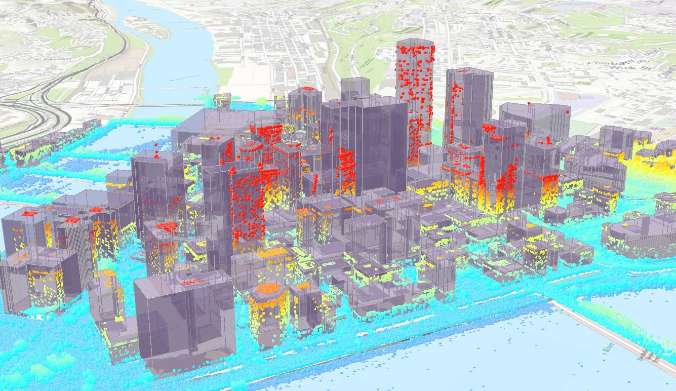
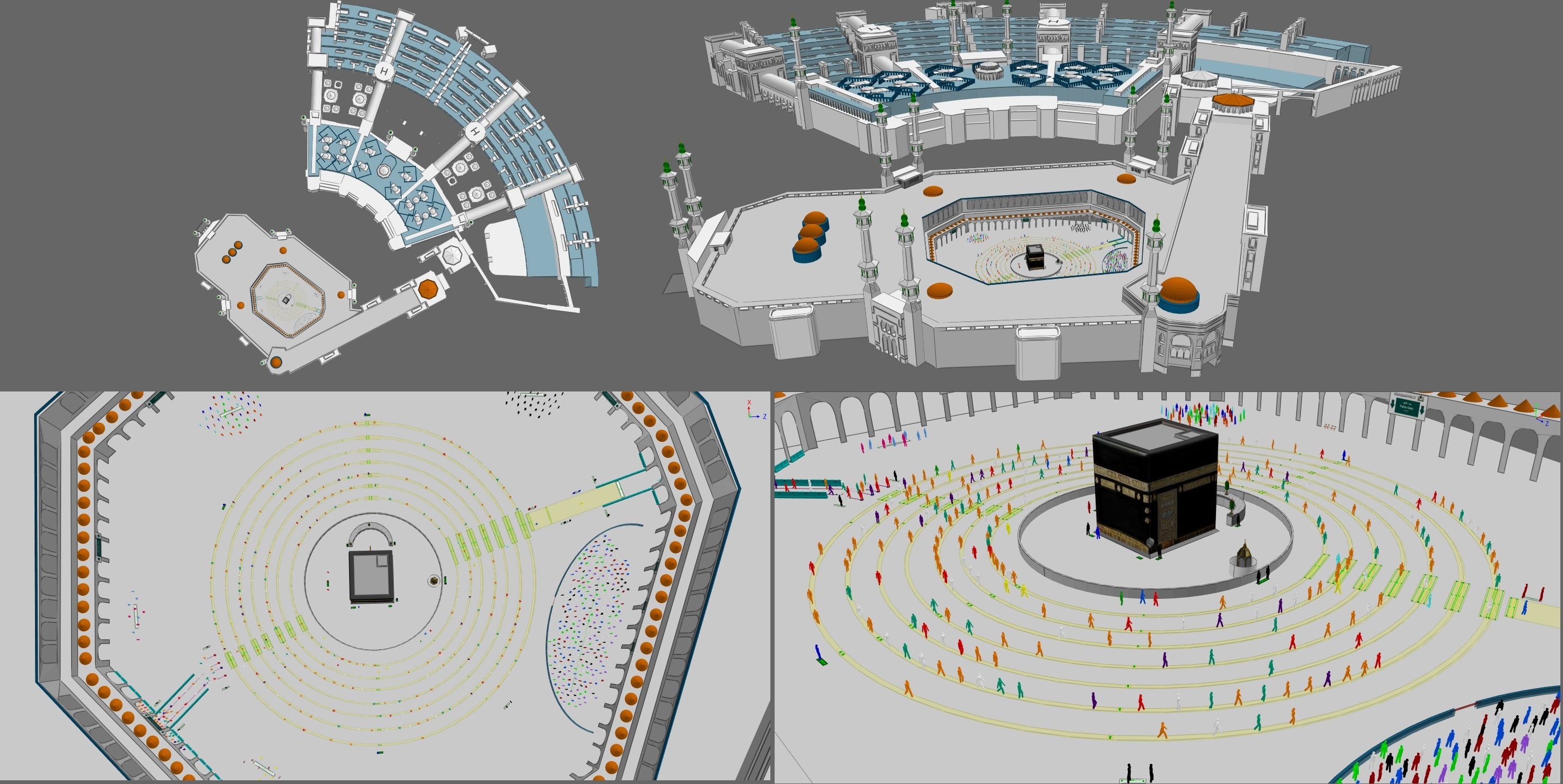
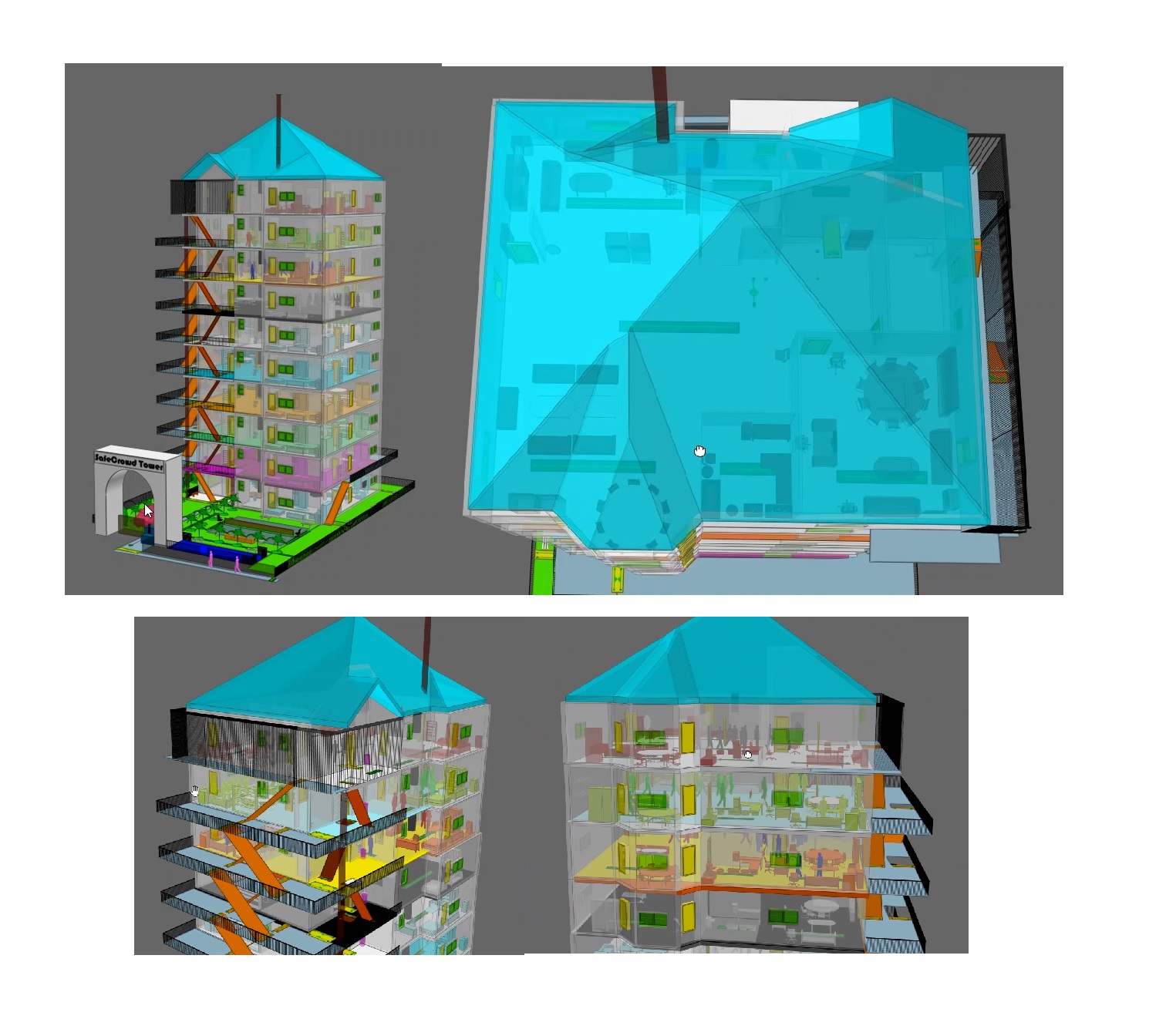
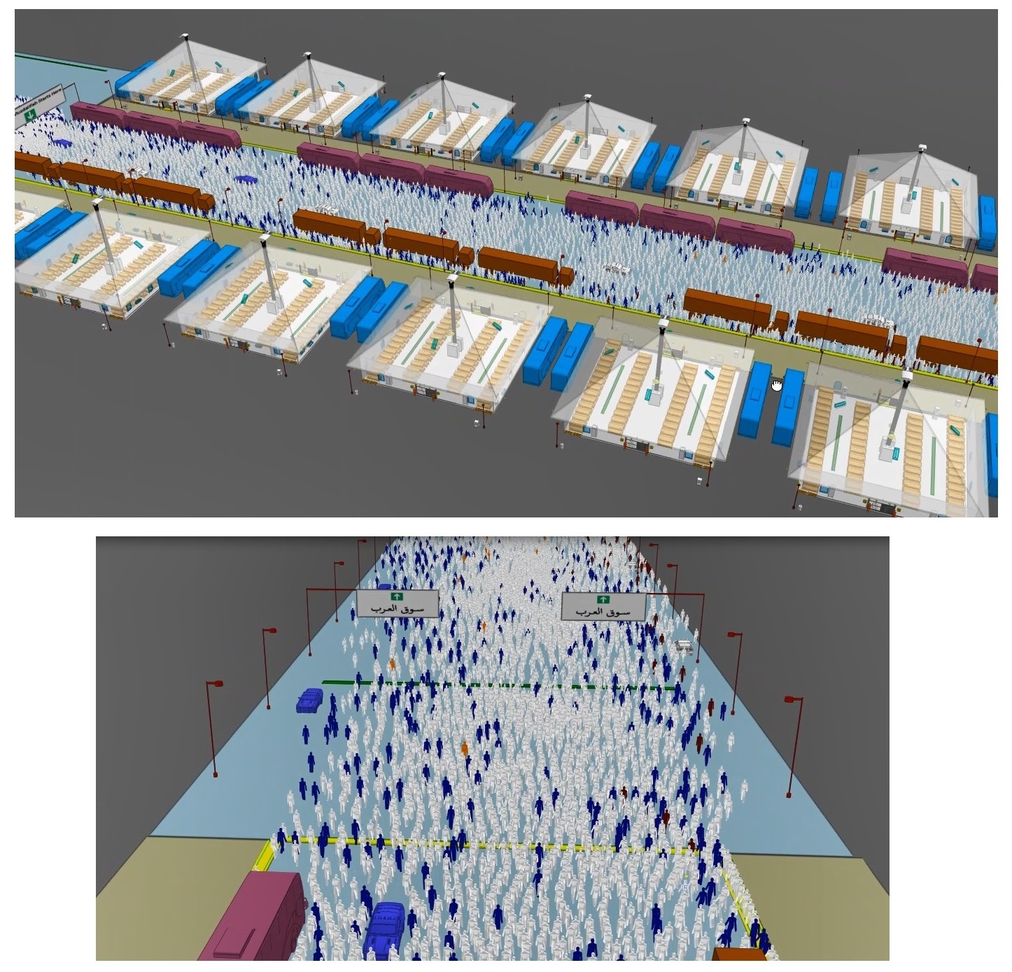
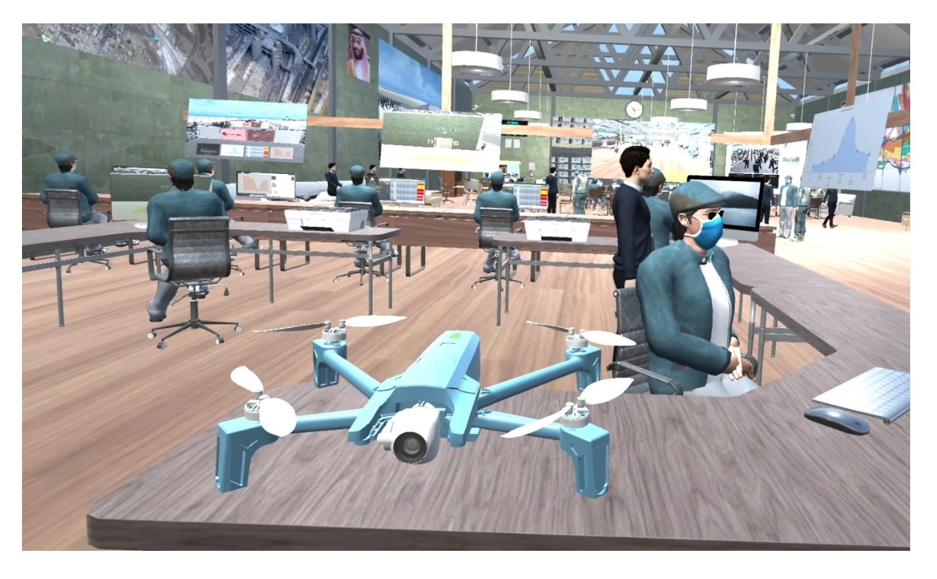
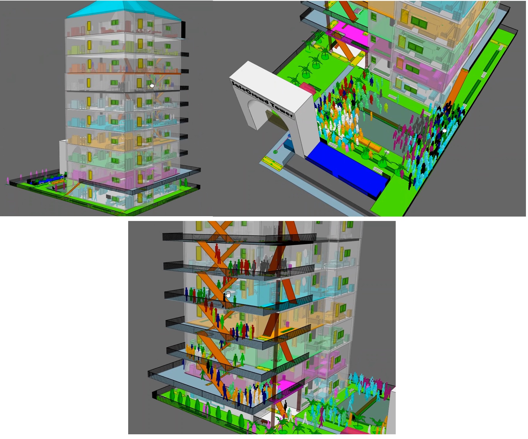
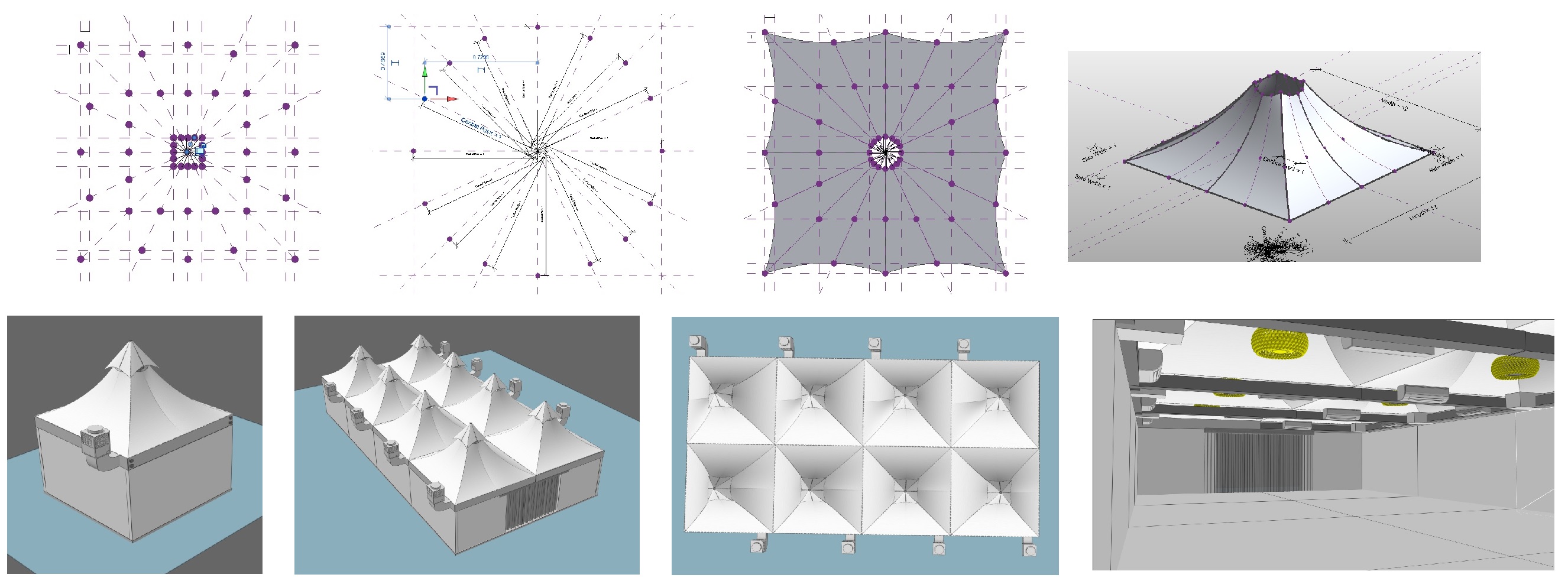
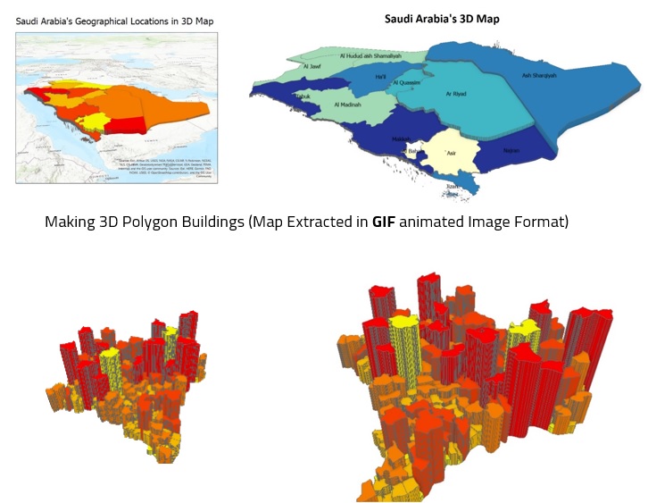
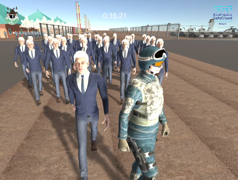
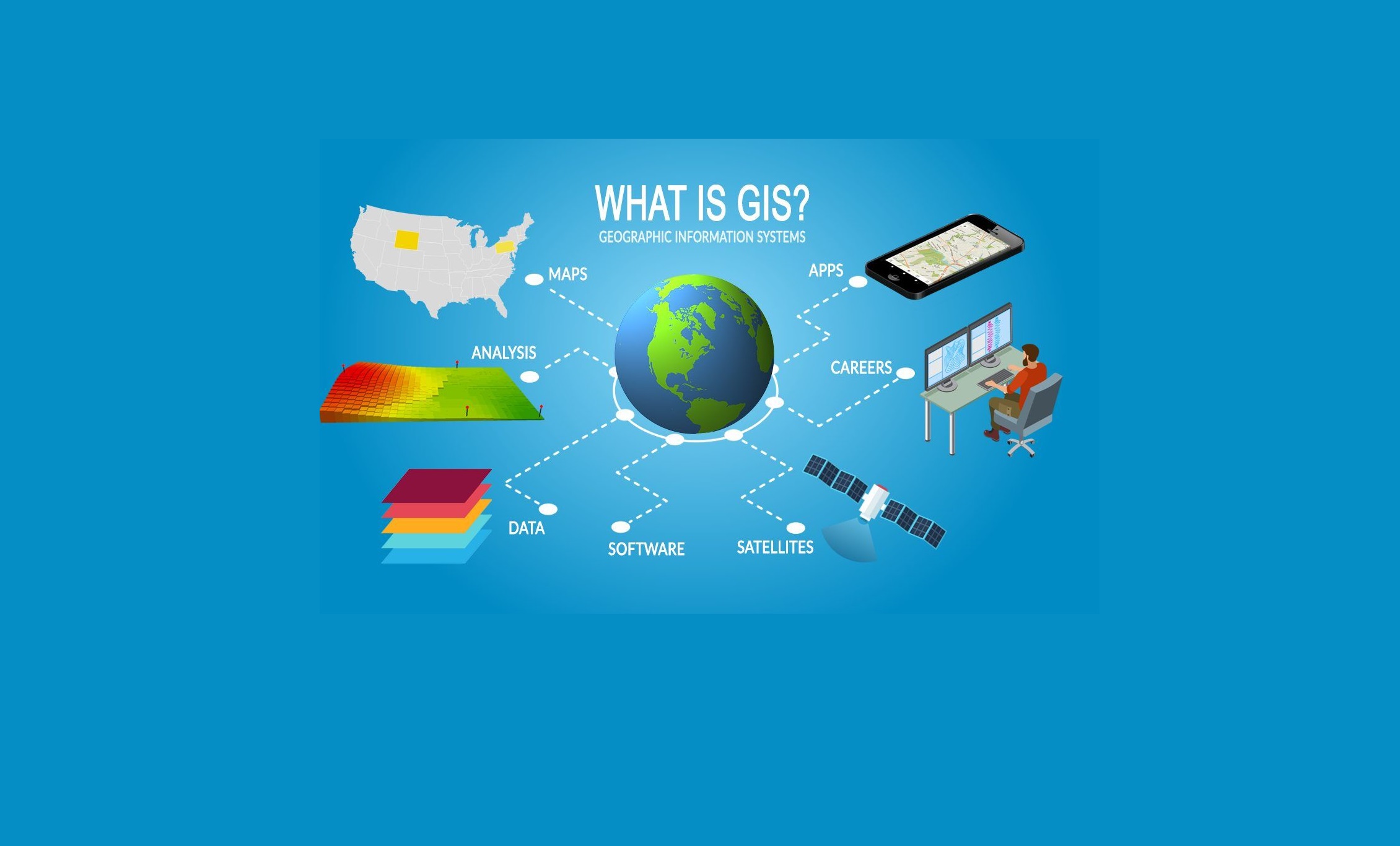
obaidipedia.com

Spatial Data Analysis
& GIS Mapping

obaidipedia.com

Crowd Simulation
& 3D Modeling

obaidipedia.com

VR Game
Developing

About ME

Shoaib Shahzad Obaidi

is a GIS Specialist plus Crowd Simulation and VR Game Developer. He has extensive knowledge in the field of mapping, analyzing, geoprocessing and visualizing spatial data plus evaluating crowd behaviors by running agent-based simulations and viewing them on VR headsets. Shoaib has just finished his bachelor's degree in Computer Science from Umm al Qura University in the Kingdom of Saudi Arabia in 2022. Along with teaching in Udemy learning platform, he is currently working in a technological Company named FirstCity as a GIS Developer. His field of interest is GIS and remote sensing and he likes to explore knowledge and research further. He has published a paper in the Springer Journal under the title of 'Analyzing Pedestrian Crossflow Through Complex Transfer Corridors' and is currently working on another paper named UQU GIS-based Navigation System which will be published soon. He likes playing online games plus reading, exploring, and transferring knowledge.

Geographic Information Systems
Simulation & 3D Modeling
VR Game Development
Part of the Advances in Intelligent Systems and Computing book series

Analyzing Pedestrian Crossflow Through Complex Transfer Corridors

Large gatherings which are commonly allied with spatial and temporal constraints possess several managerial challenges. As far as walking is considered as a sustainable mode of pedestrian movement with crowd safety as the core objective, hosting authorities put relentless efforts to analyze crowd dynamics and provide with pre- and during event mobility plans. In this paper, we present our ongoing research about analyzing pedestrian movement of a very large annual gathering, the Hajj, where topographical nature of the hosting city Makkah proffer complex network of straight, circular, Y, L, T shape transfer corridors. Moreover, Hajj crowd diversity in terms of race, age and language makes it more laborious for the hosting authorities to tackle pedestrians crossflow to avoid any possible stampede. As a part of our study, we have..... Read More
Still Not Published

UQU GIS Based Navigation System

Umm al Qura University is one of the largest universities in the kingdom of Saudi Arabia, having more than one hundred thousand students. The university is situated in a suburb area of Makkah city; around 10 km away from the residential areas, and because of its geographic location, most of the people who are either students, professors, staff, workers, or even visitors enter the university compound on daily basis for different purposes; like studying, teaching, working or perhaps just for a tour, and they all get into the university using vehicles. So, because of the wide area of the university which embeds tens of faculty buildings, scientific and technical research centers, and many other facilities, a huge number of students and visitors cannot reach their desired locations at an appropriate time, and the problem gets double in the first few days of the university startup and that’s because of freshmen students’ enrollment. To solve this problem, an online navigation system is built to help people find their destinations easily..... Read More
Knowledge Transfer

My Courses on GIS

Operational Dashboards
Geo-spatial Data Analysis and Visualizations
Students Joined: 7K+
View
GIS Tools
Create, Style, Analyse, Animate, Query and Publish Spatial Data
Students Joined: 160+
View
Spatial Data Visualization
Enhance Your Skills in Spatial Data Analysis and Visualization
Rating: 4.6
View
Spatial Data Visualization
Enhance Your Skills in Spatial Data Analysis and Visualization
Rating: 4.1
View
Spatial Data Visualization
Enhance Your Skills in Spatial Data Analysis and Visualization
1.06K subscribers
View
Students' Feedbacks

What My Students Say

3500+
Social Media
Followers
2000+
Students
Physical
7500+
Students
Online
Build a Career for yourself

GIS - Crowd Simulation - VR Game Development

What is GIS Image
How to Building a Successful Career in GIS?
Crowd Simulation Image
How to Building a Successful Career in Crowd Simulations?
How to Building a Successful Career in Game Development?
Start learning GIS

Build a Strong GIS Career With Me